🌍 The Myco Map
A placeholder for planetary context. Imagine spatial threads connecting emissions, soil moisture, crop zones, and more. This is the foundation for future overlays: satellite + spreadsheet + story.
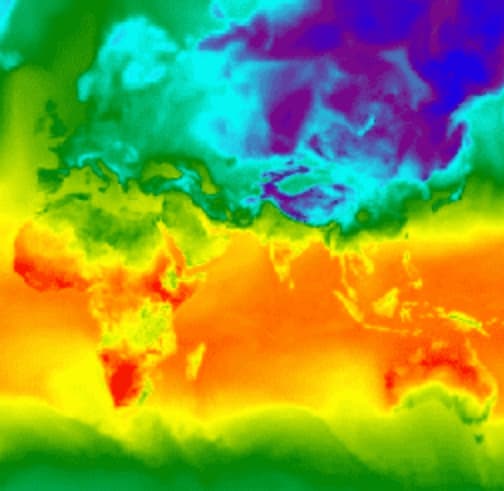
🔧 Interactivity coming soon — with global datasets visualized in-place. Myco’s map is more than a layer — it’s a living bridge.